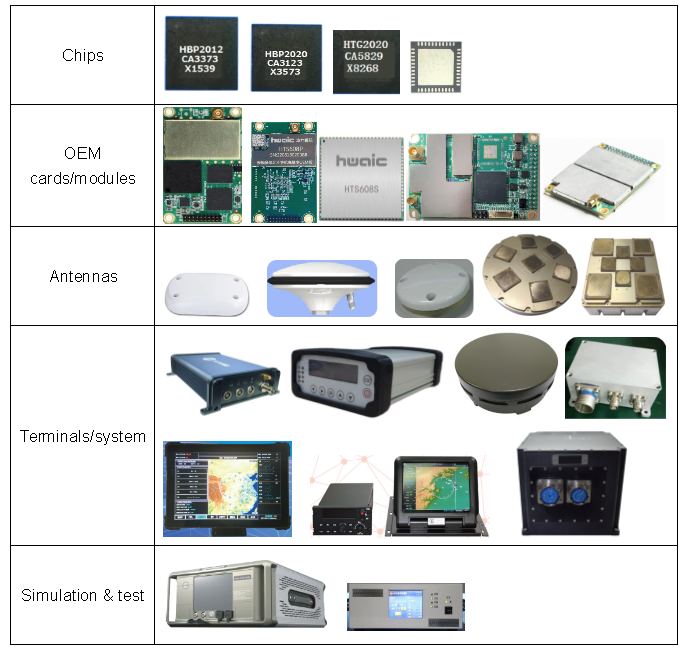
Based on the BDS/GPS/GLONASS/Galileo satellite navigation systems and inertial navigation, we focus on the development of core technology, design and production of application products and systems. Mastering satellite navigation chip technology, high-precision and anti-jamming technology, BeiDou/GNSS satellite navigation board and module, navigation terminal, antenna, inertial navigation and integrated navigation terminal products and system solutions have been established, we providing cutting edge products for aerospace, UAV and precision guided ammunition, vehicle and ship, safety monitoring, automatic driving and other high-precision applications.
Core Technology and Products
Mastering satellite navigation chip technology, high-precision and anti-jamming technology, BDS/GNSS satellite navigation board and module, navigationterminal, antenna, inertial navigation and integrated navigation terminalproducts and system solutions.
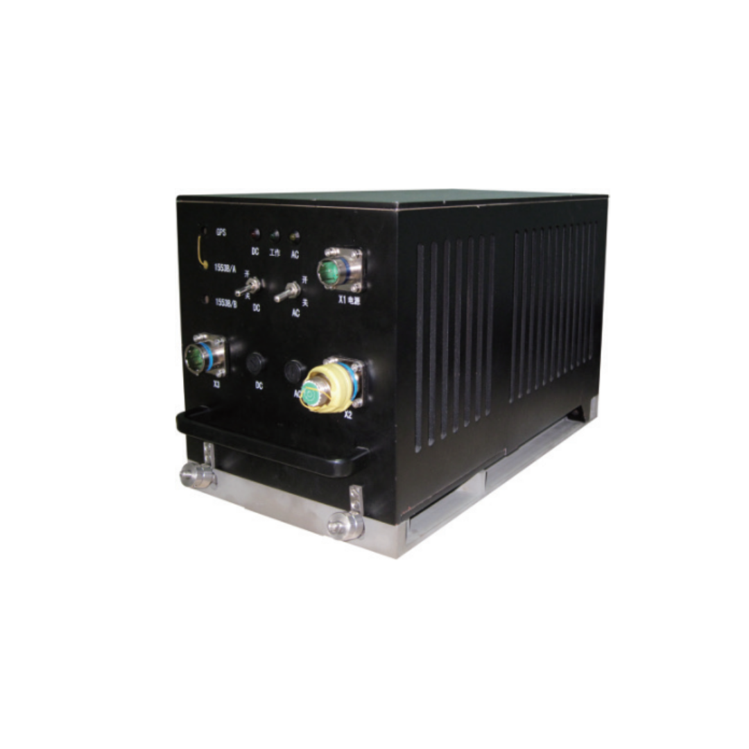
HWA-RLG5000 inertial navigation system is a standard airborne strap-down inertial navigation system that can meet the needs of large passenger aircraft and fighter jets for inertial navigation systems.

BDS-2120 airborne Beidou positioning and tracking equipment locates the aircraft in real time based on the Beidou positioning function, and periodically sends the obtained aircraft identification number, position, speed, time and other parameters to the ground platform using the short message function. It is the BDS airborne equipment that only realizes the aircraft tracking function. Aircraft parameters based on the output of the equipment shall not be displayed to the aircrew. Under normal circumstances, it cannot be used as the basis for air traffic controllers to implement air control decisions.

SDC-3 touch BDS multi-mode navigation system is used for airborne navigation. It has the functions of mobile electronic map, elevation rendering map, high altitude route map, flight management, waypoint management, satellite monitoring and ground proximity warning.
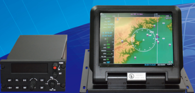
The system is composed of airborne multi-functional navigation display controller, host, aviation GNSS antenna and supporting cables, which can provide the aircraft with navigation and flight management functions based on GNSS. The airborne multi-functional navigation display controller includes airborne display and host. The airborne display has the functions of mobile electronic map, flight plan management and status monitoring; The host has control panel and BDS / GPS navigation module; The pilot realizes the human-computer interaction through the control panel, and controls the airborne display to realize the interface switching and input function.
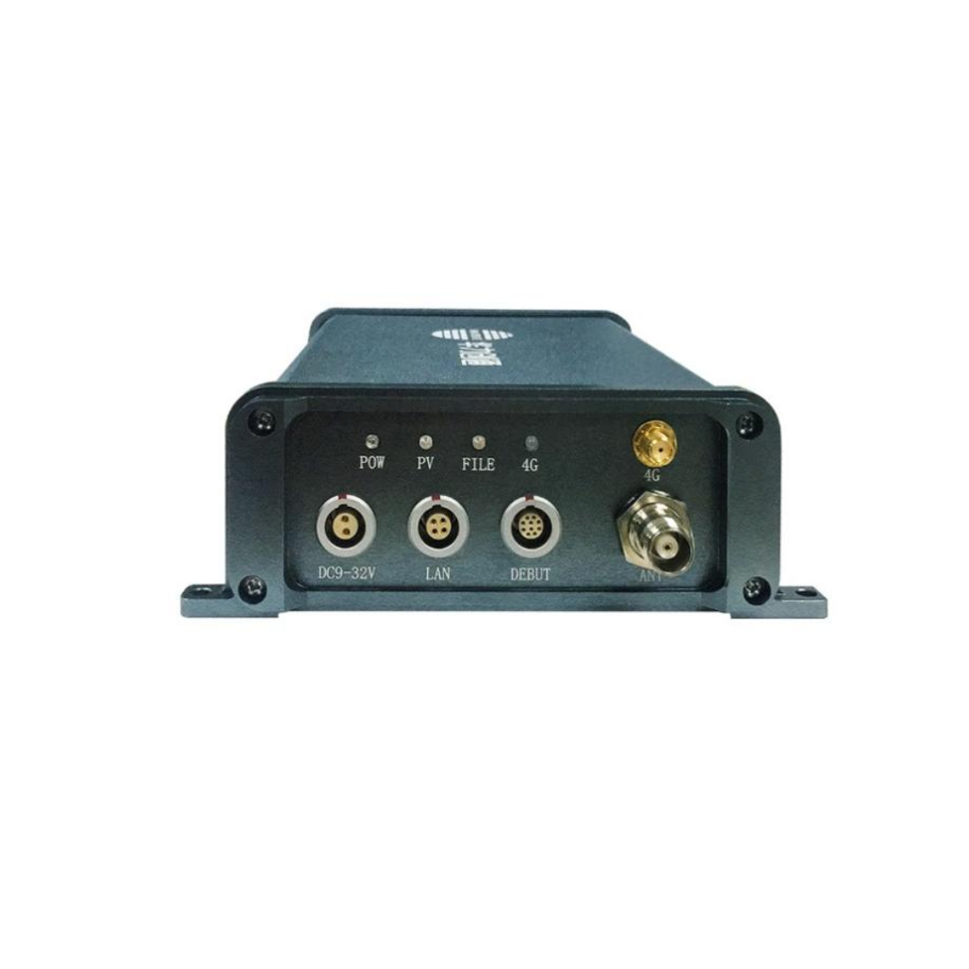
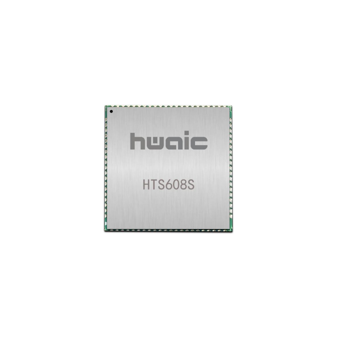
Multi-mode and multi-frequency GNSS navigation high-precision module is a high performance, miniaturized and high-precision positioning module. Based on the design of HTG001, the BDS3 navigation baseband chip of Hwa Create, it fully supports the full-frequency signal format of BD2, BD3, GPS, GLONASS, Galileo, QZSS multi-system, and adopts small classic size, and supports the narrowband anti-jamming and chip-level multi-path suppression function. The multi-mode and multi-frequency enhanced RTK solution engine independently developed by Hwa Create can effectively improve the accuracy and reliability of RTK measurement in complex environments such as urban blocks, trees and slopes.